This is our online mapping portal. It contains mapping layers to guide the work of our team and partners. We want the layers to be as useful as they can be, so please
get in touch if you have any suggestions for other layers you’d like us to include, or if you need further guidance on how to use the Tree Atlas.
The data layers included relate to:
- Our “Right tree, right place, right reason – Where principles”. These are part of our Mersey Forest Plan. They include long-term tree cover ambitions, which guide what our multi-generational 30% tree cover ambition might look like, rather than being binding targets for each area. Read more about our tree cover ambition.
- Administrative boundaries.
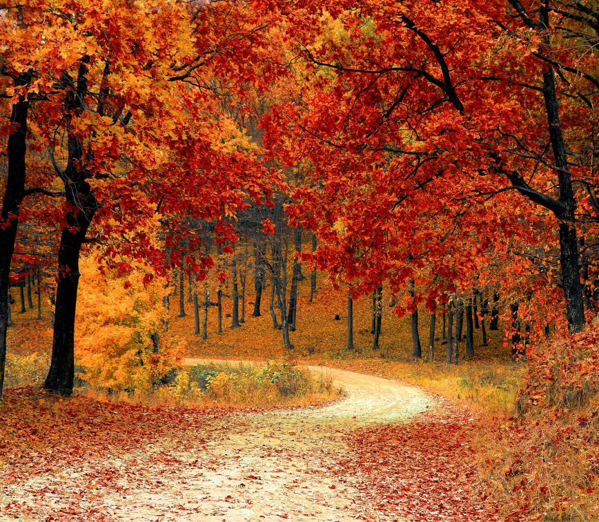
- Existing trees and woods.
- Change in trees and woods as a result of our work.
- Areas of need for trees and woods. This includes layers helping to prioritise delivery for people, nature, and climate.
- Constraints to tree and woodland establishment. This includes layers relating to agricultural land quality, peaty soils, and other habitats.
- Enjoy trees and woods. This includes recreational layers such as accessible woodlands and Public Right of Ways. You can also view these layers separately on the Enjoy trees and woods page.
- Suggested locations for more trees and woods. Use the ‘Please add your suggested trees here’ tab in the sidebar on the left to add more locations. Our team will follow up on any suggestions, and consider land ownership, to see if it is possible to add trees there. Hopefully over time we can demonstrate how your suggestions can lead to action.
Please explore the Tree Atlas below.
Please note, the Tree Atlas may be slow to load, please be patient. We recommend phone users to open the map in a new window. Click
here to open map in new window.